
Walk the Way
Crossing the Penwith Peninsula from coast to coast, St Michael’s Way is a 12.5-mile (20 km) walking route that combines spectacular scenery, ancient monuments, rich history and centuries of pilgrimage tradition. From stunning coastal views on a clear day, to ancient stones, and medieval churches.
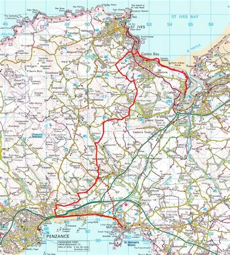

Summary
- 12.5 miles (20 km)
- 6–9 hours
- Difficulty: Moderate
- Start: St Uny Church, Lelant
- Finish: St Michael’s Mount, Marazion
- Pilgrim Passport: Available here.
The Route
Lelant to Carbis Bay
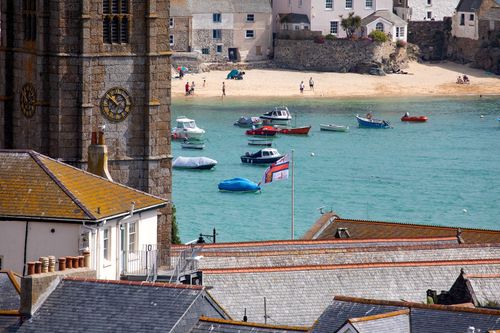
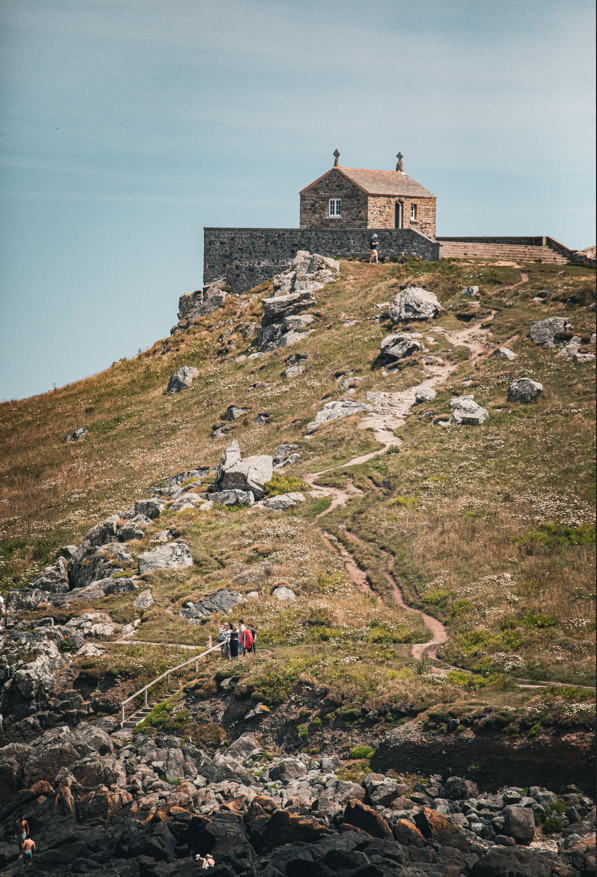
The walk begins at St Uny Church in Lelant before joining the South West Coast Path towards Carbis Bay. Along this stretch there are sweeping views across St Ives Bay, from Godrevy Lighthouse—the inspiration for Virginia Woolf’s To the Lighthouse—to the harbour town of St Ives.
Carbis Bay to Trencrom
Leaving the coast behind, the route heads inland to Knill’s Monument, from where there are splendid views of coast and countryside.
The Way then follows quiet lanes and tracks past the Beersheba Stone, a Bronze Age standing stone, before reaching Bowl Rock. According to local legend, this enormous granite boulder landed here after a bowling match between two giants.
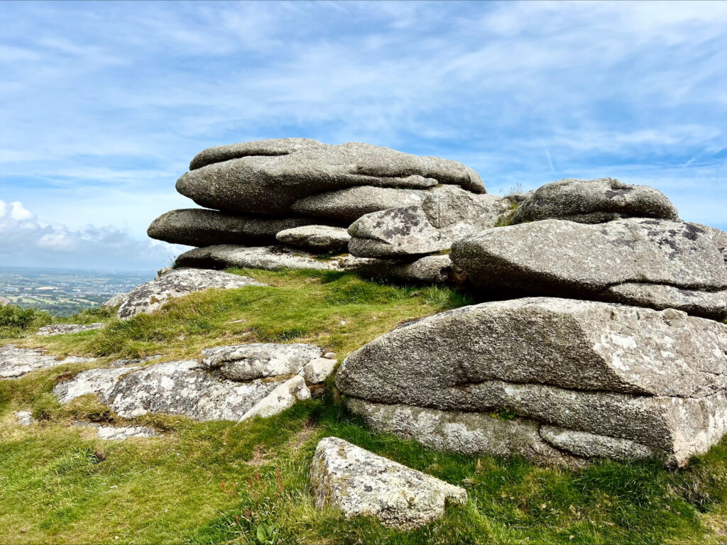
A short distance further on lies Trencrom Hill. Although the official route skirts its base, a short detour to the summit is well worth the effort. On a clear day, the views extend from coast to coast—and for many walkers this is where St Michael’s Mount first comes into view.
Trencrom to Ludgvan
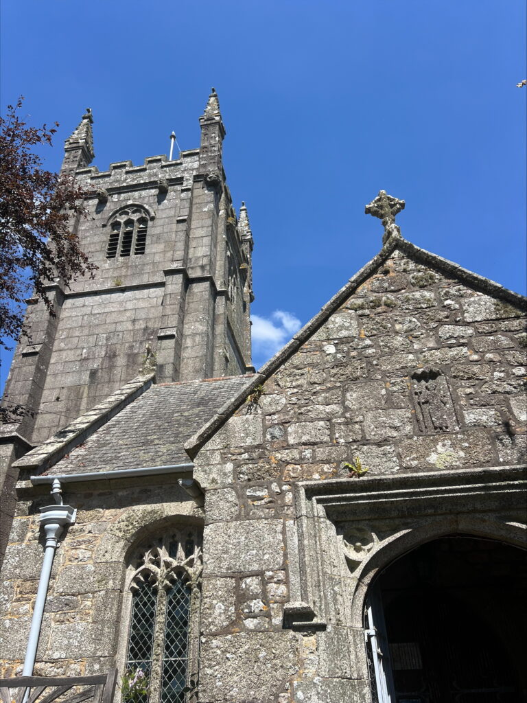
From Trencrom, the route follows quiet country roads before crossing fields around Trembethlow Farm. The landscape changes as the path descends into a series of narrow wooded valleys before climbing again towards Ludgvan Churchtown, offering a varied and peaceful section of the walk.
Ludgvan to St Michael’s Mount
From Ludgvan there are two options for the final stage.
The more direct route crosses farmland before passing through the RSPB reserve at Marazion Marsh.
Alternatively, walkers can follow the western route via Tremenheere Sculpture Gardens and Gulval, before returning to the coast at Long Rock and continuing into Marazion. Together, these routes create an enjoyable circular walk with several opportunities to stop for refreshments.
Finding the Way
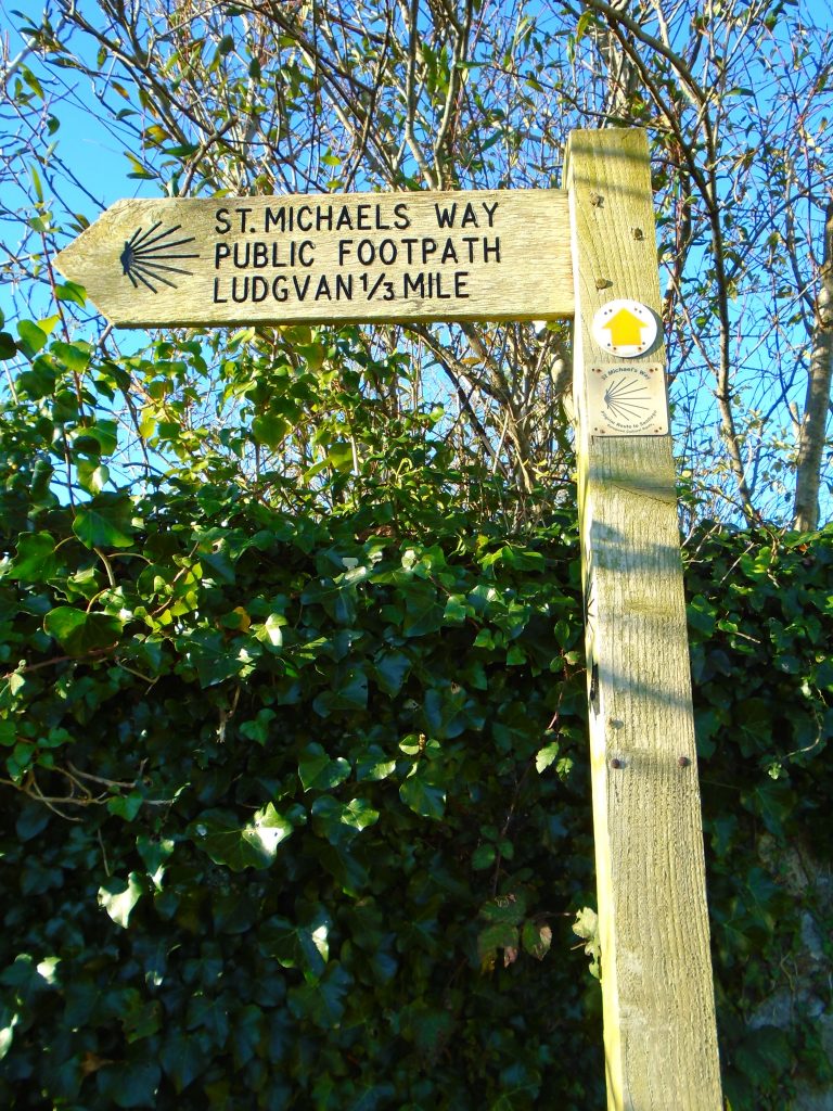
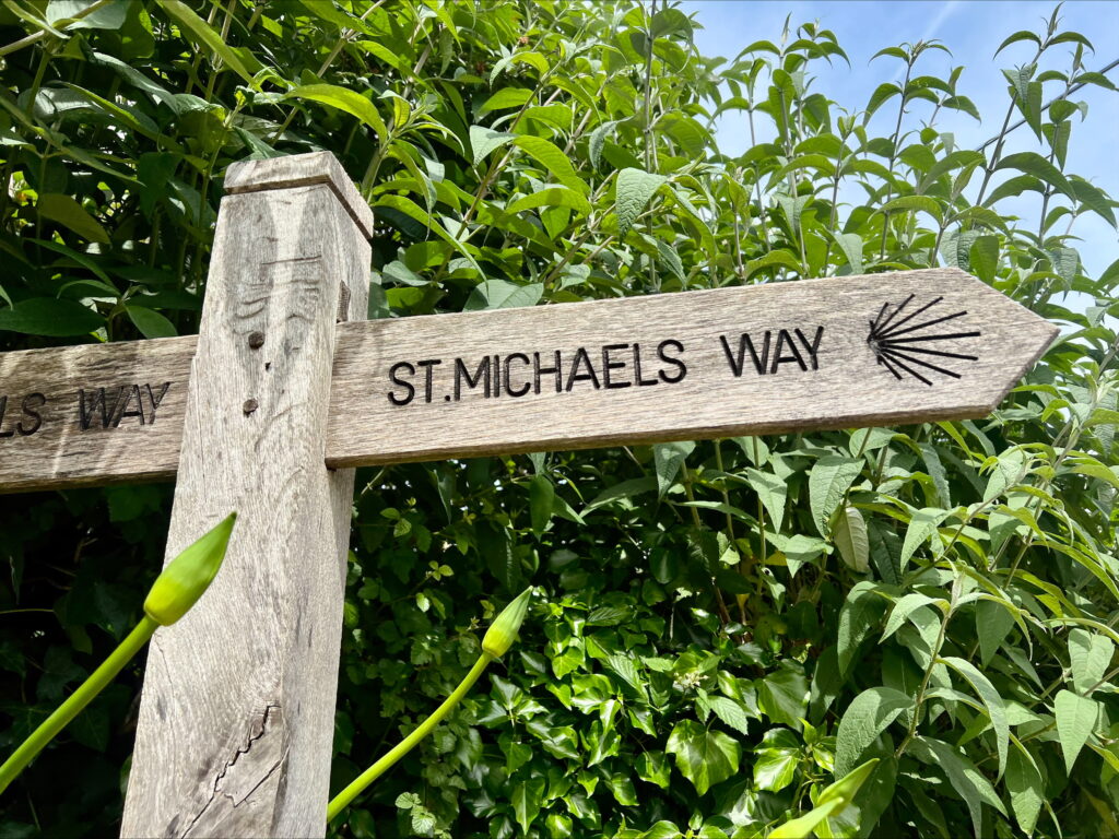
St Michael’s Way is well waymarked using a stylised scallop shell based on the Council of Europe’s symbol for European pilgrimage routes.
We also recommend carrying OS Explorer Map 102 (Land’s End) or its digital equivalent. The route is clearly shown on the map.
The Friends of St Michael’s Way also publish an illustrated guidebook, St Michael’s Way: A Guide to the Walk, containing detailed directions and historical information.
Difficulty
The walk is not difficult, although there are some steep sections and a number of granite stiles.
In places the path can be muddy and slippery especially in the valley floors and around field entrances where cattle have congregated so appropriate footwear should be worn and a walking pole can be useful. The cliff path leading to Carbis Bay may also be wet underfoot.
Walkers are likely to encounter livestock at some point along the route so dogs should be kept under control.
Public Transport
By Bus
Lelant is served by the A17 bus between Penzance and St Ives, with stops at Lelant, Carbis Bay and Long Lane, Ludgvan. Marazion is served by the U4 bus from Penzance.
If you only wish to walk part of St Michael’s Way, these bus services make it easy to join or leave the route at several points.
There is no direct bus service between Lelant and Marazion, so if you are walking the full route you will usually need to change buses via Penzance. Alternatively, many walkers choose to park in Marazion, take the U4 to Penzance, and then the A17 to Lelant.
If travelling to the start by bus, ask to be dropped off at the Badger Inn in Lelant. From there, walk down Church Road to St Uny Church, where the route begins.
For up-to-date routes and timetables, visit Traveline or First Bus Cornwall.
Parking
There is limited parking near St Uny Church in Lelant, while several public car parks are available in Marazion. Some walkers prefer to park in Marazion before travelling by bus to the start of the route.
By Train
Lelant and Carbis Bay are served by the scenic St Ives Bay Line, which connects with mainline services at St Erth. The railway journey itself offers wonderful views across St Ives Bay.
Crossing to St Michael’s Mount
Your journey ends at St Michael’s Mount.
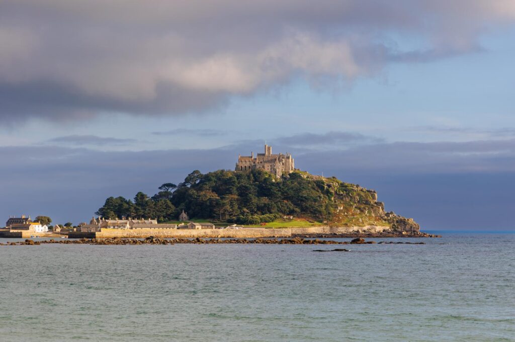
- At low tide, visitors can walk across the historic granite causeway.
- At high tide, passenger boats operate between Marazion and the island (weather permitting).
Please note that while the causeway is freely accessible when uncovered, entry to the island usually requires a pre-booked ticket which you can get from the website. For current opening times and crossing information, please visit the St Michael’s Mount website.
Refreshments
Refreshments are available at several points along the route, including:
- Carbis Bay
- The White Hart Inn, Ludgvan
- Tremenheere Sculpture Gardens
- Marazion
- St Michael’s Mount
Supermarkets can also be found close to the route at Carbis Bay and Long Rock.
If you find a problem along the path that needs reporting, such as issues with signs, or routes being blocked, please do report to the Council by following this link.